Pamir / Kongur Shan · China
Kongur Tagh
Kongur
7,649 m·Independent peak·first ascent 1981
- Elevation
- 7,649 m
- Prominence
- 3,585 m
- Class
- Independent peak
- Range
- Pamir / Kongur Shan
- Countries
- China
- Coordinates
- 38.5933° N / 75.3133° E
- First ascent
- 1981
- Climbed
- Yes
- Guided
- No
Overview
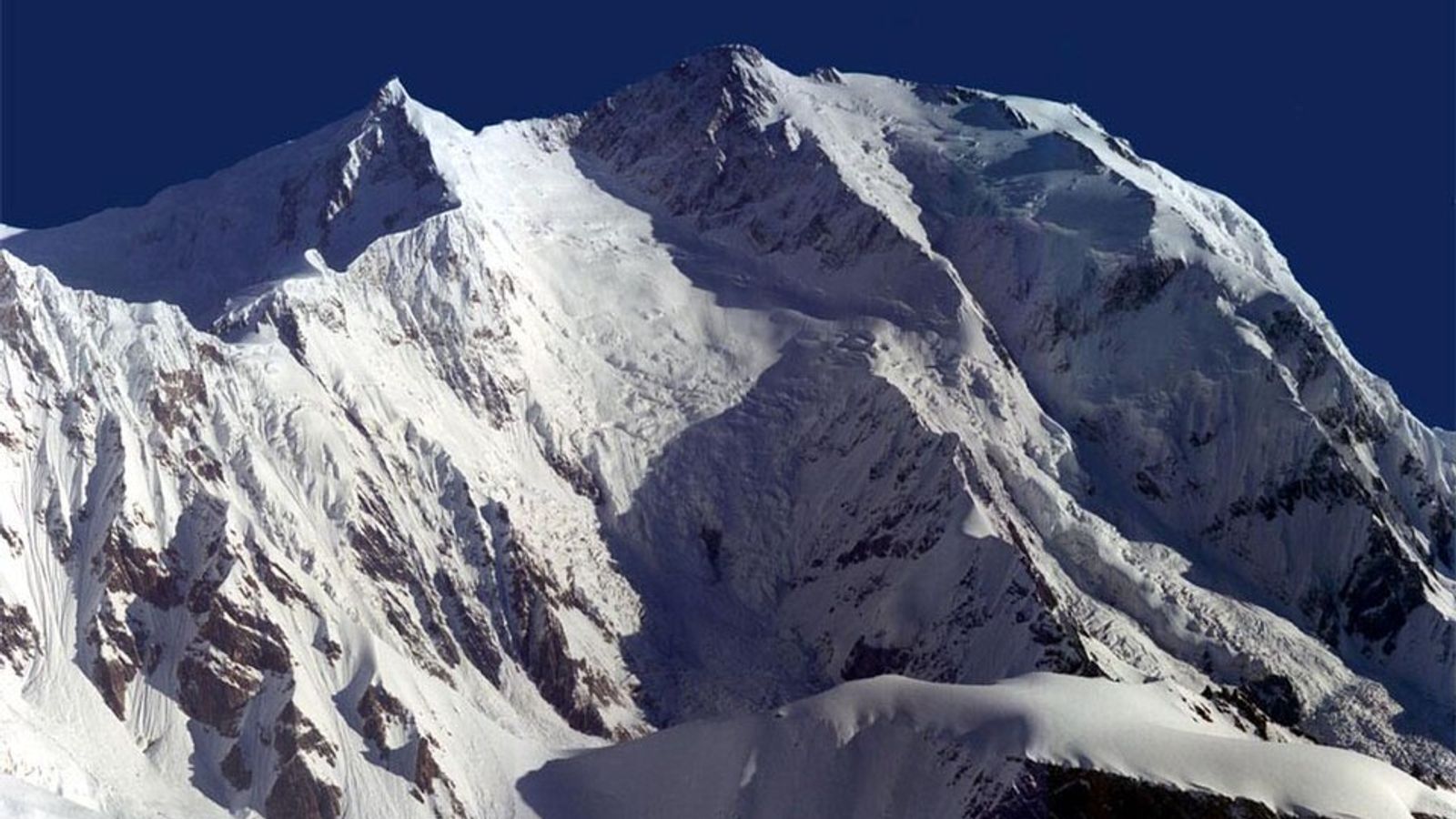
Kongur Tagh is the highest peak wholly in Xinjiang and the high point of the Pamirs, 7,649 m. The name means brown mountain. It sits near Muztagh Ata above the Karakoram Highway and Karakul, hidden enough that Europeans did not record it until about 1900. Prominence is large. This is not a bump on Muztagh Ata.
Chris Bonington, Pete Boardman, Joe Tasker, and Alan Rouse made the first ascent on 12 July 1981, after a reconnaissance the year before. They used the west ridge, sat out a storm in what Bonington called snow coffins, and climbed a final pyramid he compared to the Eiger. Boardman and Tasker died on Everest the next year; Rouse died on K2 in 1986.
Kongur is the serious neighbour of the ski-slope 7000er next door, Muztagh Ata. Same highway, different mountain.