Karakoram / Hispar Muztagh · Pakistan
Distaghil Sar
7,885 m·Independent peak·first ascent 1960
- Elevation
- 7,885 m
- Prominence
- —
- Class
- Independent peak
- Range
- Karakoram / Hispar Muztagh
- Countries
- Pakistan
- Coordinates
- 36.3258° N / 75.1878° E
- First ascent
- 1960
- Climbed
- Yes
- Guided
- No
Overview
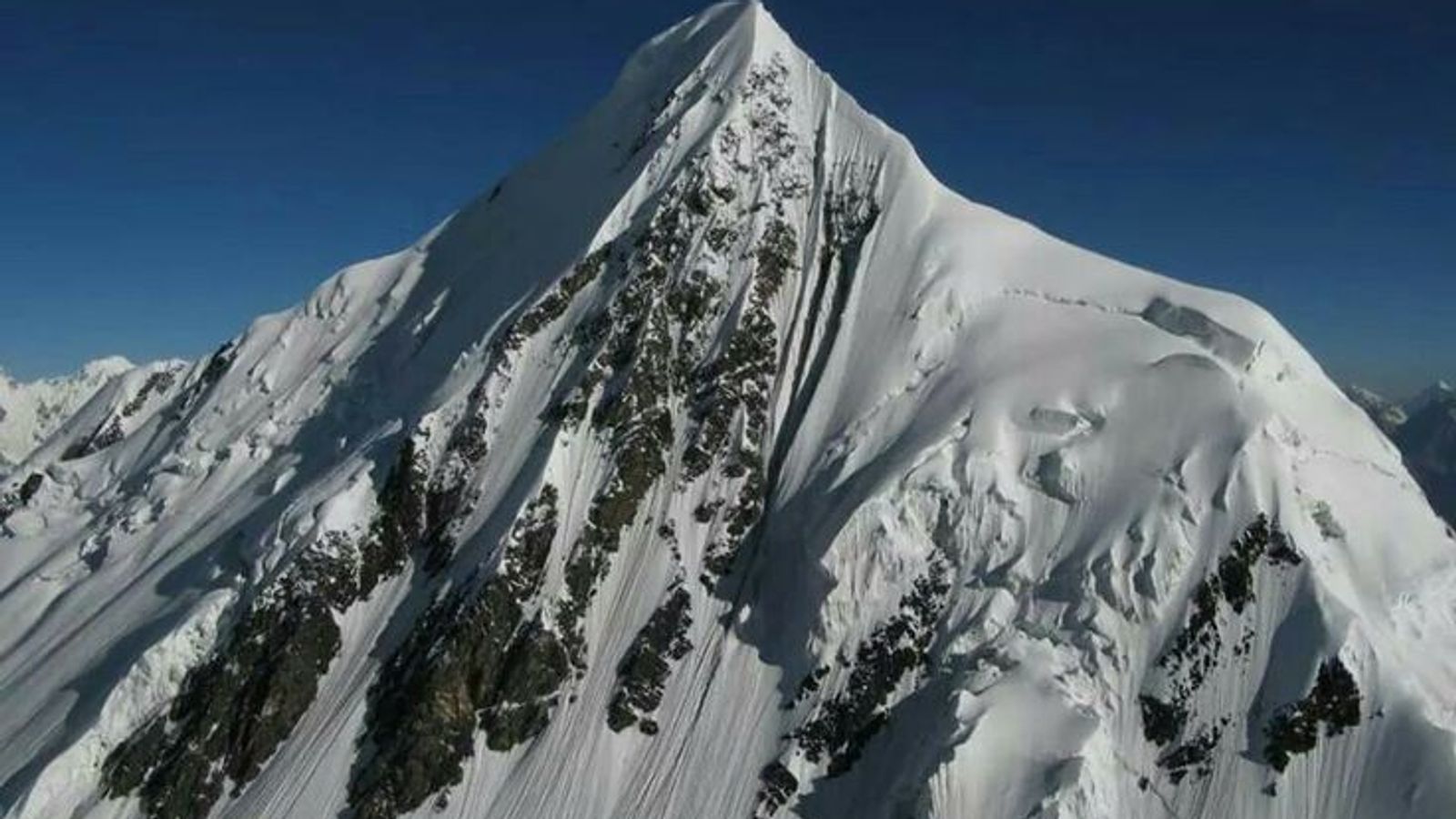
Distaghil Sar is the highest mountain in the Hispar Muztagh and the 19th-highest on Earth, 7,885 m. The name is Wakhi for a place above the inner pasture. It stands above Shimshal and the Hispar Glacier. The summit ridge is about 3 km long, with a west main top, a central top, and a lower east top.
An Austrian party led by Wolfgang Stefan made the first ascent on 9 June 1960. Günther Stärker and Diether Marchart climbed the west side of the south face onto the southwest ridge. They tagged the wrong bump on the crest, then the higher one, and came down frostbitten into a storm. British and Swiss attempts in 1957 and 1959 had already failed in bad weather. The main summit saw few repeats (1980, 1982). Poles climbed the east summit in 1980.
Distaghil Sar is a major Karakoram 7000er that never became a trade peak. It belongs with Rakaposhi and Hidden Peak’s neighbours: high, long, and visited by small expeditions rather than commercial groups.